April 07, 2025
Schletter Group introduces new planning tool
Company
Global

Product Catalog
Customer Survey - Making Schletter better.

DISCOVER THE “HOUSE OF SCHLETTER”

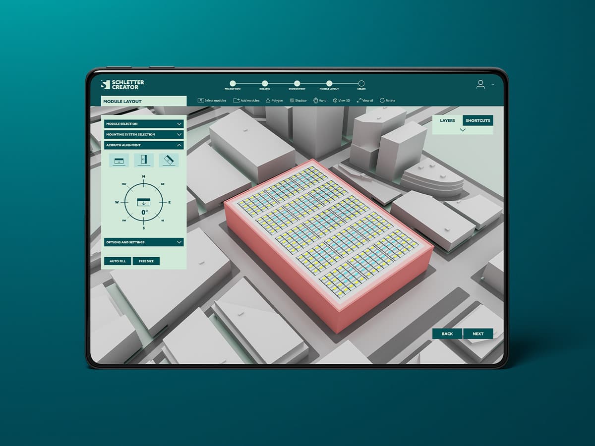
It is faster, more attractive and it can multitask: The latest generation of the Schletter Configurator makes planning roof systems much simpler, even with several roofs at the same time.
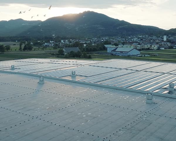
With the Schletter Configurator 3.0, you can now plan directly in Google Maps: Roof surfaces can be marked out and planned directly on Google Maps via an interface. Once the roof inclination has been input, the system calculates the exact size of the roof surface to be covered and, if required, suggests the optimum configuration depending on orientation. When the post code or name of the town is entered, the regional standard loads for wind and snow are automatically factored in. This applies worldwide, as the Schletter Configurator incorporates the world’s most extensive load determination database.
Where previously only one roof could be planned at a time, several roofs and roof systems can now be processed within one plan. This makes it much simpler, because the location parameters such as terrain category, relevant standard loads etc. only need to be detected by the system or input once. It is therefore possible to configure different roof types with different mounting systems and orientations in one plan.
Users can choose between fast configuration and professional mode. In fast configuration, the system suggests the configuration that is best, based on size, alignment and structural loading. In professional mode, users can select the individual parameters manually.

In future, it will also be possible to export the plans as DXF files, which means that they can be linked to the standard planning programs used by architects, structural engineers, and planners. The program generates a structural analysis and verifiable documentation for all plans it produces. The parts lists can be edited manually.
The Configurator has been developed in-house by the Schletter Group and has been one of the most popular planning tools for solar panel systems for over 10 years. The software is free. As a memory-saving client application; it is also maintenance-free and always available in the latest version.